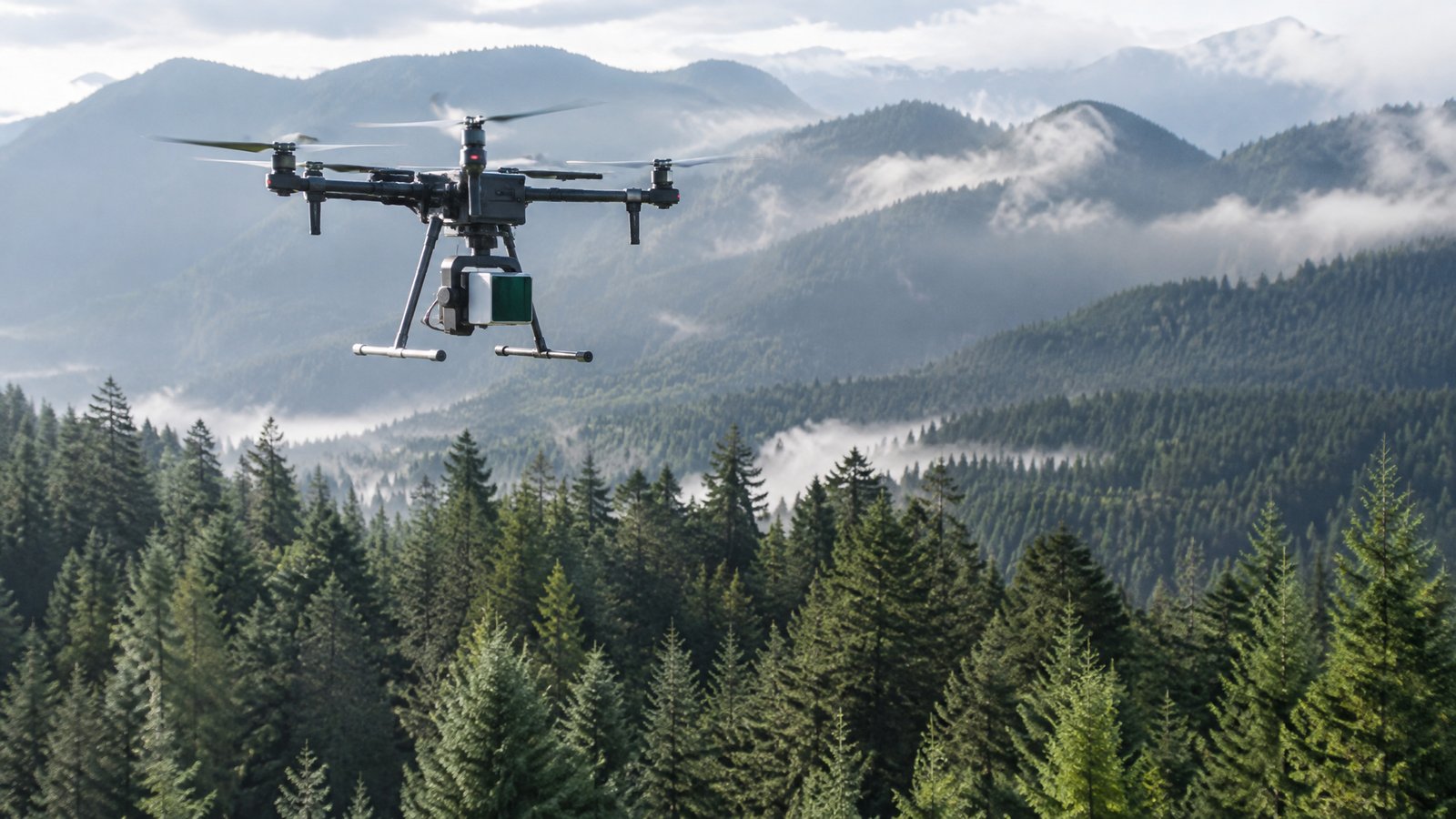
Drone Forestry, LiDAR & Tree Health Surveys
Find drone operators for LiDAR forest inventory, tree health surveys, wildfire risk mapping and reforestation support.
17 providers found
Coastal Resource Mapping (CRM) Ltd.
Washington GIS and aerial drone survey firm (since 1998) providing 3D models, volumetric calculations and GIS analysis for forestry, construction and government.
Drone Amplified
Drone and payload manufacturer based in Lincoln, NE. Develops and supports the IGNIS drone payload used by fire managers for aerial ignition in prescribed-burn and wildfire operations. Listing compiled from public sources - confirm credentials (FAA Part 107 / COA), insurance, coverage area and availability directly with the provider.
F&W Forestry Services
Environmental and ecological consultancy with an in-house drone program based in Opelika, AL. Uses drones in professional forestry services for aerial stand assessment, timber and forest-management mapping, and monitoring of forest conditions. Listing compiled from public sources - confirm drone capability, FAA Part 107 / Part 137 certification, permits, insurance and coverage area directly with the provider.
GeoCue
Drone and payload manufacturer based in Huntsville, AL. GeoCue makes drone LiDAR and photogrammetry mapping systems used to create 3D scene maps for forensic and public-safety documentation. Listing compiled from public sources - confirm credentials (FAA Part 107 / COA), insurance, coverage area and availability directly with the provider.
GreenValley International
Environmental drone sensor and equipment supplier based in Berkeley, CA. Supplies UAV LiDAR systems and LiDAR360 software used for forest inventory, tree segmentation, canopy metrics and vegetation analysis. Listing compiled from public sources - confirm drone capability, FAA Part 107 / Part 137 certification, permits, insurance and coverage area directly with the provider.
Kingwood Forestry Services
Environmental and ecological consultancy with an in-house drone program based in Monticello, AR. Offers drone-based aerial imagery and mapping for timberland and forestry management, including stand assessment, boundaries, roads and land-management documentation. Listing compiled from public sources - confirm drone capability, FAA Part 107 / Part 137 certification, permits, insurance and coverage area directly with the provider.
Midsouth Aerial Applications
Central Mississippi drone applicator serving the whole state with row-crop herbicide, fungicide and insecticide applications, food-plot fertilising and forestry vegetation management.
Mississippi State University Geosystems Research Institute
University / research group running environmental drone (UAS) programs based in Starkville, MS. Uses UAS remote sensing for agricultural, forestry, water-resource and environmental applications, including vegetation and habitat monitoring. Listing compiled from public sources - confirm drone capability, FAA Part 107 / Part 137 certification, permits, insurance and coverage area directly with the provider.
NV5 Geospatial
National geospatial firm (state-qualified Minnesota vendor) providing aerial LiDAR, imagery and topographic mapping.
National Tropical Botanical Garden
University / research group running environmental drone (UAS) programs based in Kalaheo, HI. NTBG uses drones for botanical conservation surveys, including locating and mapping rare native plants and inaccessible cliff habitat in Hawaiʻi. Listing compiled from public sources - confirm drone capability, FAA Part 107 / Part 137 certification, permits, insurance and coverage area directly with the provider.
Overstory Drones
New Canaan drone provider serving New Haven County with land/forestry surveys, construction tracking and inspections.
Phoenix LiDAR Systems
Drone and payload manufacturer based in Los Angeles, CA. Phoenix LiDAR Systems builds drone LiDAR mapping payloads and software used to collect high-accuracy 3D data for disaster assessment, infrastructure inspection and incident mapping. Listing compiled from public sources - confirm credentials (FAA Part 107 / COA), insurance, coverage area and availability directly with the provider.