Drone LiDAR Forestry Survey: Methods, Accuracy and When to Use It
How LiDAR and multispectral drones measure forest structure, tree health and wildfire fuel.
What LiDAR captures
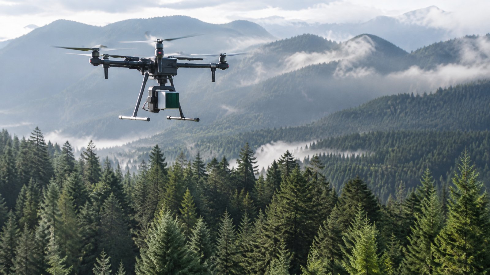
LiDAR sends laser pulses through gaps in the canopy, producing a 3D point cloud of tree heights, crown sizes and the ground beneath. From this, analysts estimate stem counts, canopy cover, timber volume and fuel loads.
Accuracy and limits
Accuracy depends on point density, flight height, canopy density and ground control. Dense evergreen canopy can limit ground returns. Ask providers for point density, expected vertical accuracy and examples from similar forest types.
Pairing with other sensors
Multispectral and thermal cameras add tree health, pest and disease stress and moisture signals. Repeat flights support change detection after storms, fire or harvest.
When to use it
Use drone LiDAR for stands from tens to a few thousand hectares where you need tree-level detail. For whole landscapes, crewed-aircraft LiDAR or public datasets may be cheaper. Benchmarks suggest roughly $12–$40 per hectare for drone LiDAR inventory (guidance only).
Ready to compare providers?
Describe your project once and get quotes from suitable environmental drone operators.