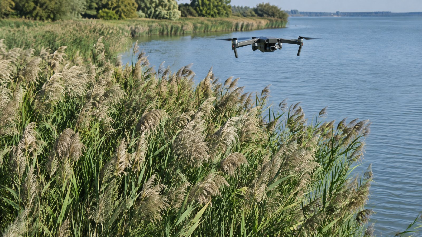
Invasive Species Management with Drones: Mapping, Monitoring and Treatment
How drones map invasive plants and target treatment to reduce herbicide use.
Mapping infestations
Multispectral and high-resolution RGB imagery can separate many invasive plants — such as phragmites, kudzu or purple loosestrife — from native vegetation, especially when flights are timed to flowering or leaf colour changes.
Targeted treatment
Mapped patches can be treated by spray drone, applying herbicide only where it is needed. This can reduce product use and reach wetlands and steep ground that are hard to treat by hand. Application requires the right FAA approvals and state licence.
Monitoring results
Repeat surveys show whether treatment worked and where regrowth appears, giving land managers evidence for grant reporting and long-term plans.
Typical costs
Benchmarks suggest roughly $20–$60 per hectare for mapping and $4–$12 per hectare per treatment pass (guidance only). Ask for a combined mapping and treatment quote using the same brief.
Ready to compare providers?
Describe your project once and get quotes from suitable environmental drone operators.