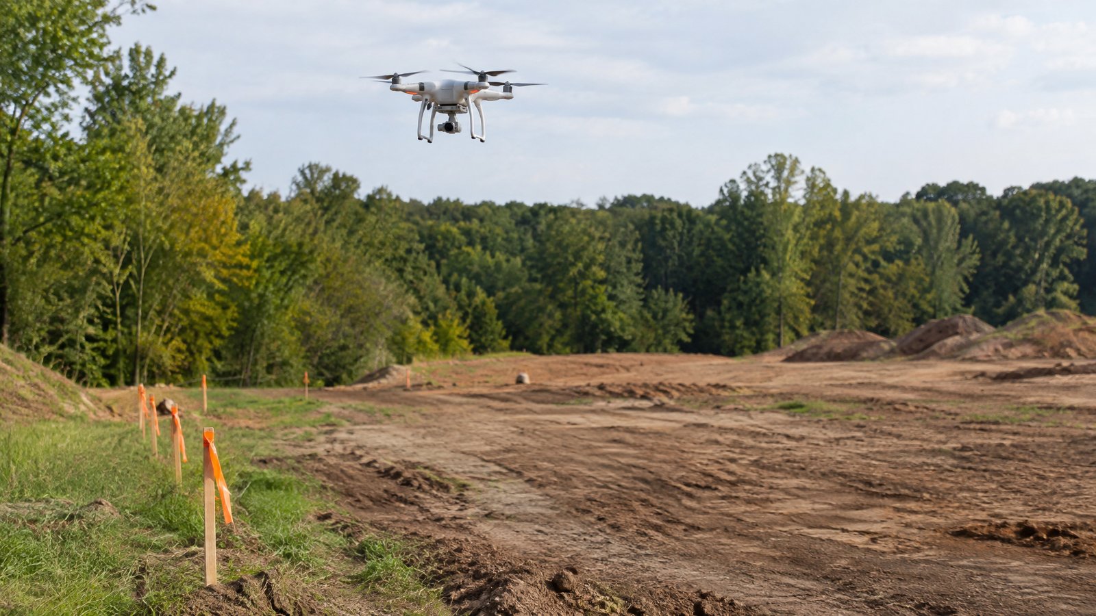
NEPA Drone Surveys: What Environmental Assessments Require and How Drones Help
How drone data supports baseline studies, environmental assessments and post-construction monitoring.
Where drones fit
Under NEPA and state equivalents, project teams document existing conditions and likely impacts. Drones help with baseline vegetation and habitat mapping, wetland and stream delineation support, wildlife presence surveys, visual impact imagery and repeat monitoring after construction.
Typical outputs
Orthomosaic imagery, vegetation classification maps, elevation models, habitat maps, photo points and GIS layers that feed the environmental assessment or impact statement prepared by the project consultant.
What drones do not replace
Protocol-level species surveys, cultural resource consultation and agency coordination still sit with qualified consultants. Drone data supports their work rather than replacing it.
Tips for buyers
Agree the survey window early (breeding seasons and leaf-on conditions matter), specify coordinate systems and accuracy, and ask for metadata so the data can stand up to agency review.
Ready to compare providers?
Describe your project once and get quotes from suitable environmental drone operators.