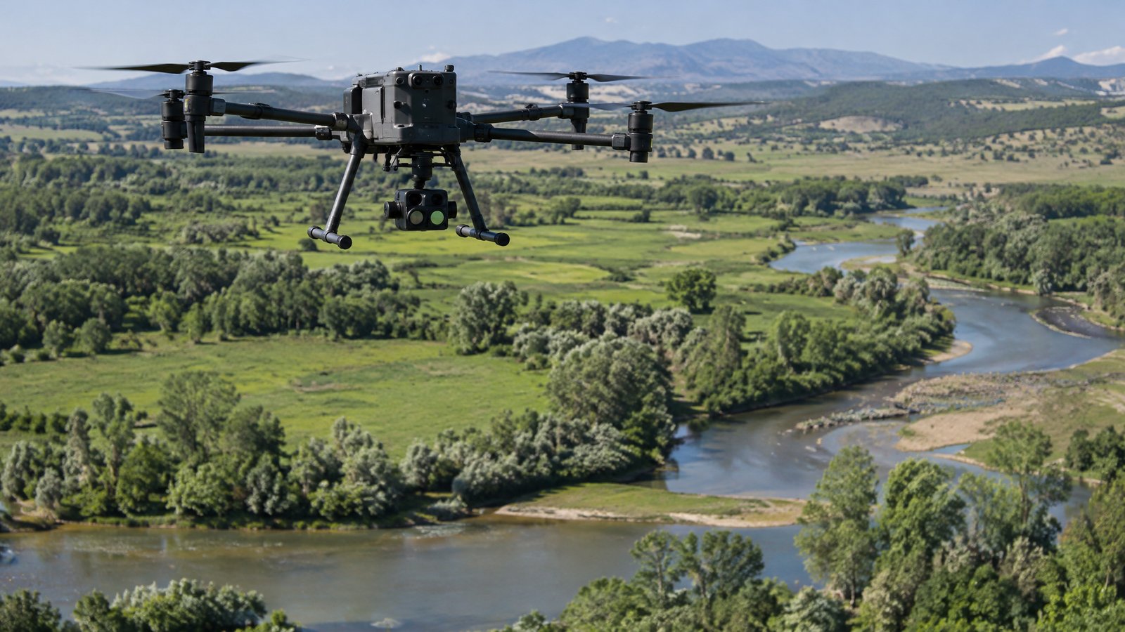
Drone vs Manned Aircraft vs Ground Survey: When to Choose Each
A practical comparison of drones, crewed aircraft, satellites and field crews for environmental work.
Where drones win
Drones suit sites from a few hectares to a few thousand hectares where you need sub-metre detail, repeat visits, quick mobilisation or access to wetlands, cliffs and hazardous ground. They can fly thermal cameras at night, carry calibrated gas sensors along a pipeline or apply larvicide to isolated pools a truck cannot reach.
Where crewed aircraft or satellites win
Very large areas — whole counties, long linear corridors or regional forest blocks — are often cheaper per hectare from a crewed aircraft or satellite imagery, especially if centimetre detail is not needed. Beyond-visual-line-of-sight rules also limit how far a single drone crew can cover in a day.
Where ground crews still matter
Species identification, soil and water chemistry, protocol-based counts and legal boundary work still need people on the ground. The best programmes pair a drone survey with targeted field checks.
A simple rule of thumb
Choose drones for detail, repeatability and difficult access; crewed aircraft or satellites for sheer scale; and ground crews for verification and protocol work. Many providers on this directory offer drone work as part of a wider field programme.
Ready to compare providers?
Describe your project once and get quotes from suitable environmental drone operators.