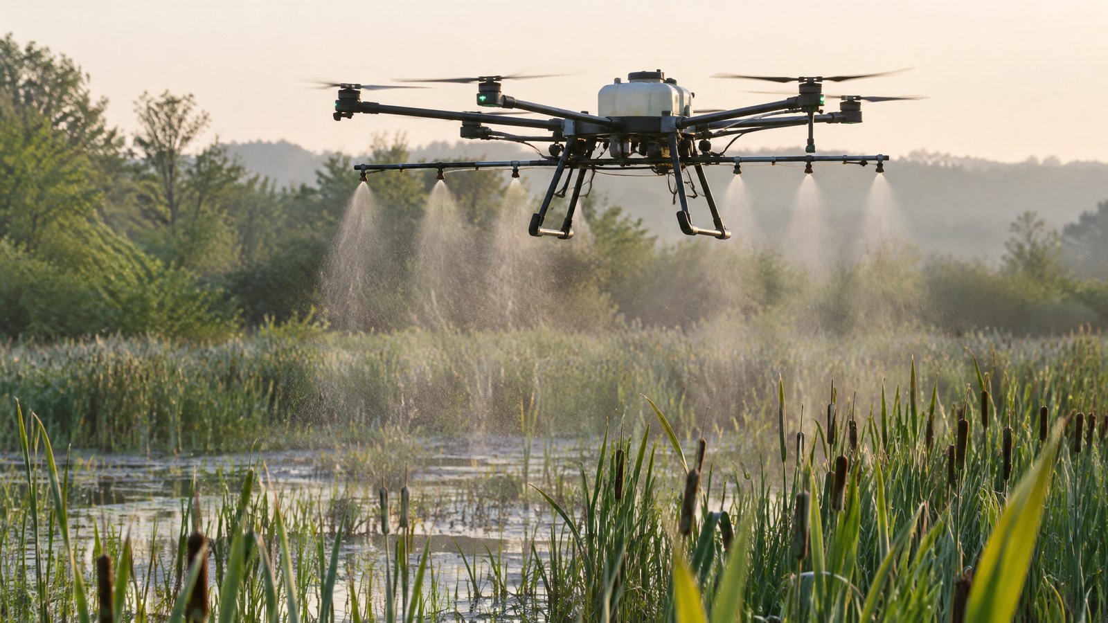
Drone Mosquito Control: How Aerial Larviciding Works
How mosquito control districts and contractors use drones to map breeding sites and apply larvicide.
Mapping breeding sites
Drones with RGB, multispectral or thermal cameras map standing water, swales, marsh pools and floodwater so crews know where larvae are likely to be. Repeat flights show how breeding habitat changes after rain or tides.
Applying larvicide
Spray drones apply registered products such as Bti granules or liquid larvicide to mapped sites. Benefits often cited include reaching inaccessible wetland terrain, GPS-logged treatment records and lower product use per hectare — research summaries suggest around 30–40% less chemical than some ground methods.
Licences and approvals
Aerial application generally involves FAA Part 107 plus Part 137 (agricultural aircraft operations, often with an exemption for heavier drones) and a state pesticide applicator licence in the correct category. Rules vary by state, so confirm requirements with the FAA and your state pesticide regulator.
Questions to ask a provider
Which products and application rates do you use? Can you show your Part 137 certificate and state licence? How do you log treatments? What buffer zones do you apply near homes, water supplies and sensitive habitat?
Ready to compare providers?
Describe your project once and get quotes from suitable environmental drone operators.